News
Marco Vermeulen: ‘The Maas has every potential to become the “central park” of Rotterdam.’
Lindy Kuit
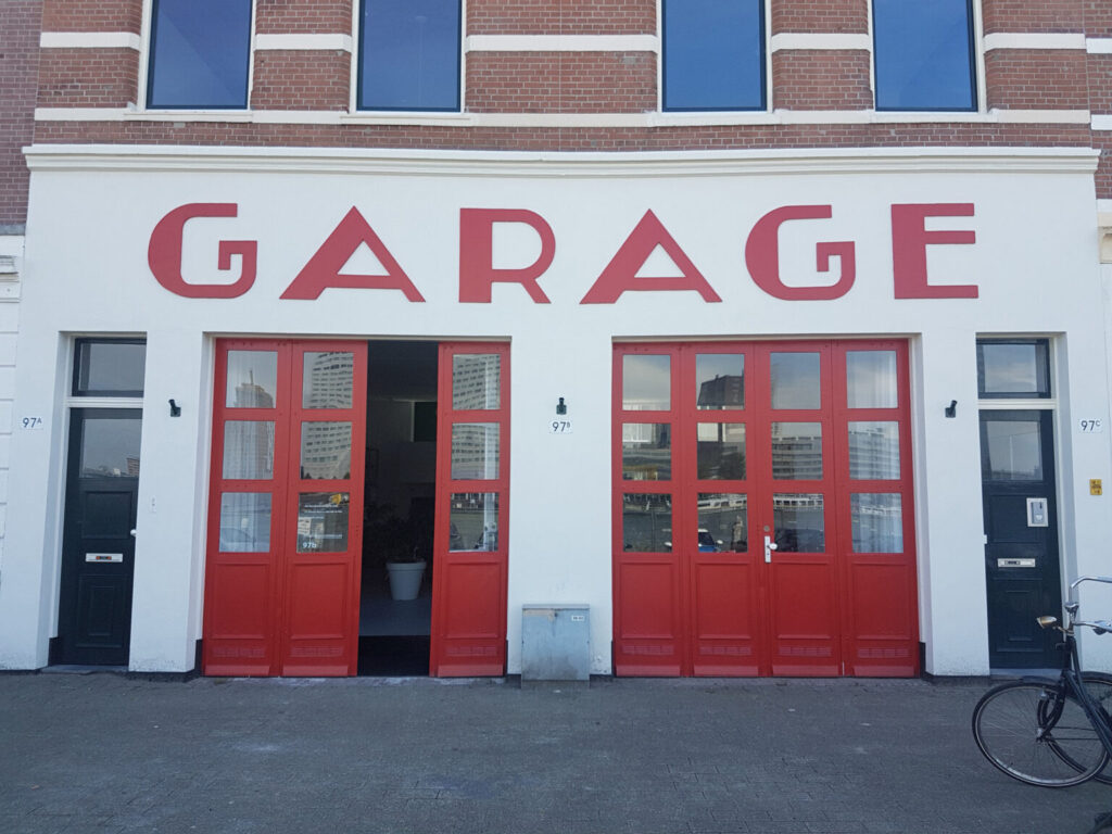
For as long as he can remember, Marco Vermeulen (Studio Marco Vermeulen) has been fascinated by water. He specifically chose the location of his architectural office for this reason: a former garage on the Maaskade on Noordereiland, on what is also a site outside the dikes. He even built his own house on the Maas, at the head of the Müllerpier. A conversation with the architect on the Liquid City theme, his insights from the Water Atlas and his design for the festival heart of Rotterdam Architecture Month 2023.
The theme of Rotterdam Architecture Month this year is Natte Stad (Liquid City). What does this theme mean to you?
‘Liquid City immediately takes me back to 2005, when I was asked, together with Florian Boer, to collaborate on ‘Rotterdam Waterstad 2035’ as part of the second International Architecture Biennale in Rotterdam. Rotterdam is one of the lowest-lying cities in Western Europe and water literally comes from four sides: from the air, the ground, the sea and the river. Back in 2005, we were already asking ourselves: what does the future of the city look like in the context of climate change? We will have to invest a great deal in Rotterdam to make it climate-adaptive, but can we use those investments to make the city more attractive as well? This gave rise to tangible ideas on housing, tidal parks, water transport, but also water storage. The concept of a water square also emerged at that time: a public space that can collect rainwater during peak times, but is ‘just’ an attractive, public place the other 95% of the time.
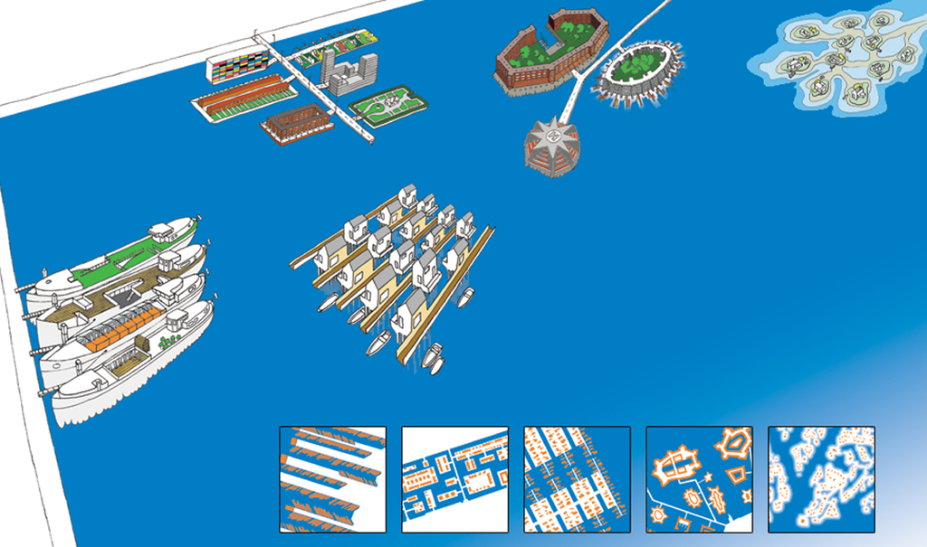
Rotterdam Waterstad 2035 | Perspectief Waterwoonculturen | Een nieuwe vloot met drijvende woningen
In short, the focus at the time was on above-ground investments rather than underground solutions. We are now 18 years further on and in the meantime the city has gained nine water squares, the Eiland van Brienenoord has been turned into a tidal park and there are advanced plans for the Nelson Mandelapark and Rijnhavenpark, among others. The topicality of the theme has only increased, as also underlined by the focus of this year’s Rotterdam Architecture Month.’
Marco Vermeulen
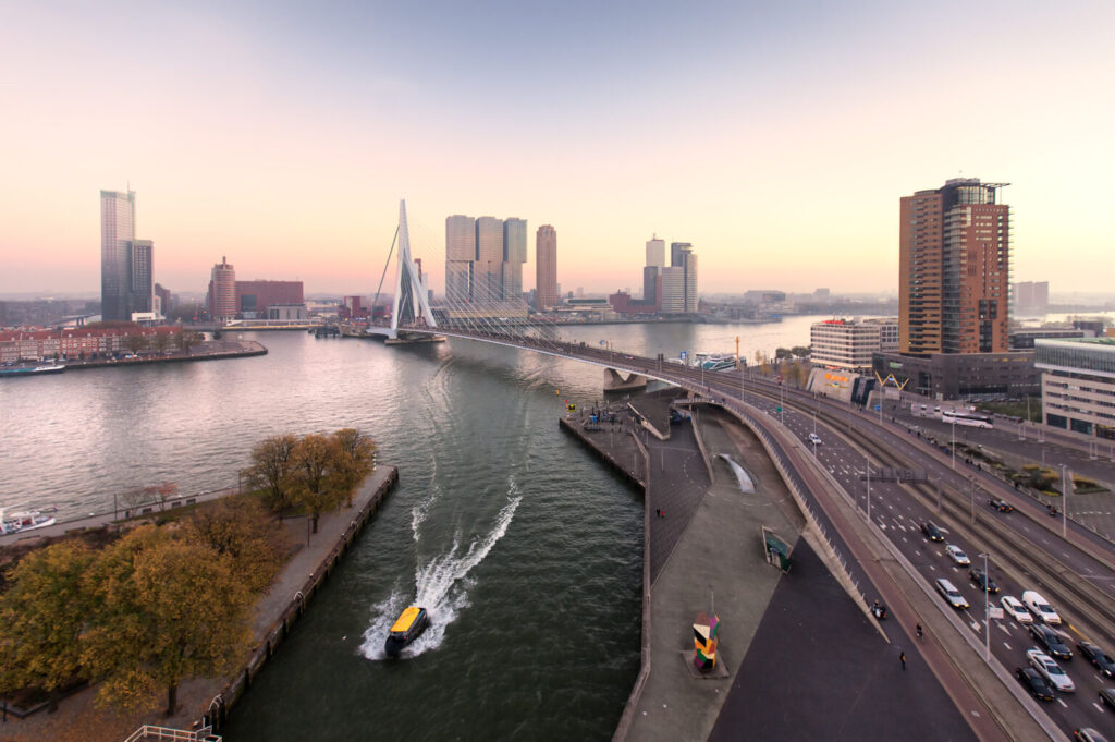
Skyline Rotterdam Erasmusbrus | Claire Droppert
You are at the helm of the Rotterdam Water Atlas. Tell us, what is that exactly and why is it necessary?
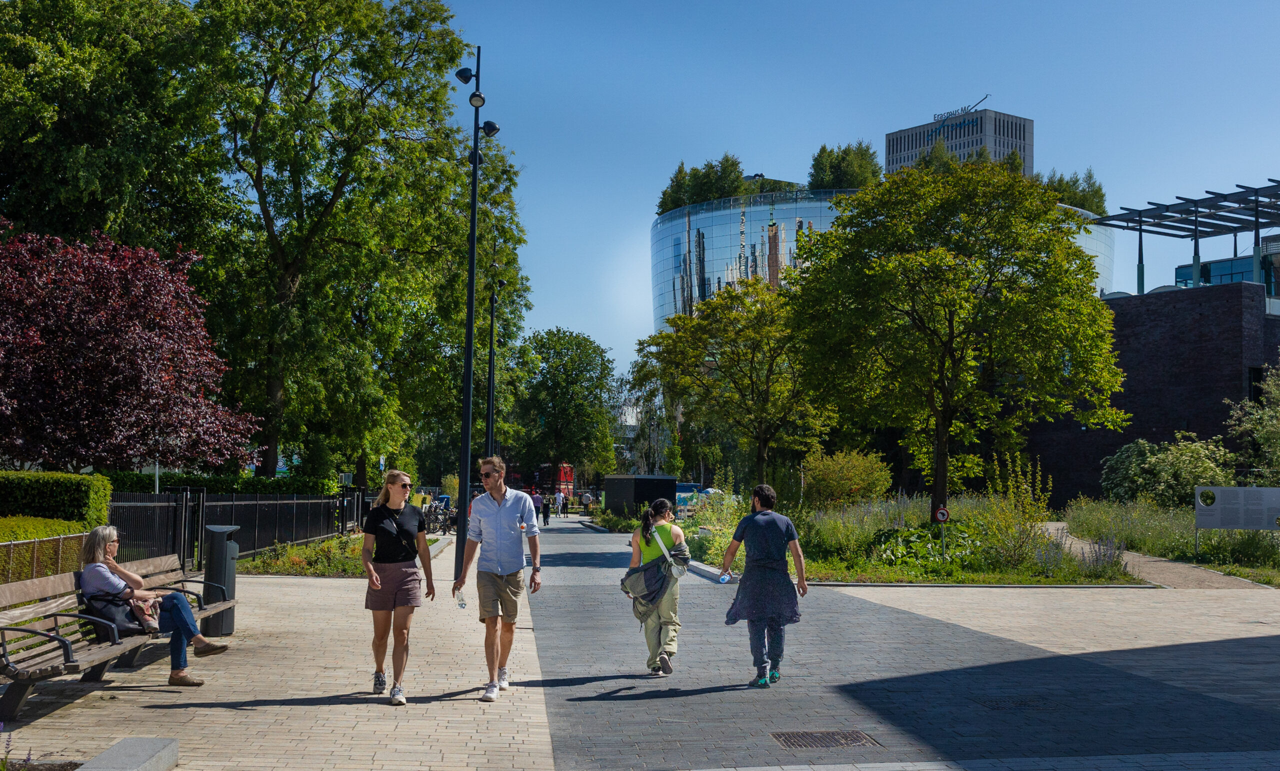
‘The port has been immensely important to the city for centuries. But while port activities have increasingly moved westwards, the city harbours have been left behind as silent basins. Dead water, we call it. Two years ago, I was asked by the municipality to think about the use of those places and to completely dissect the functioning of the river in the Water Atlas. For a very long time, the Maas was only an important transport artery and a divider between the north and south banks. At the same time, it could develop much more than currently to become a central, green space with a public character. Since the arrival of the Erasmusbrug, the river has increasingly become the physical and mental heart of the city, and this is becoming more and more visible in a number of places. In many other places, the city is still turned away from the river, while thousands of Rotterdammers also live here within walking distance of the river and could enjoy it.’
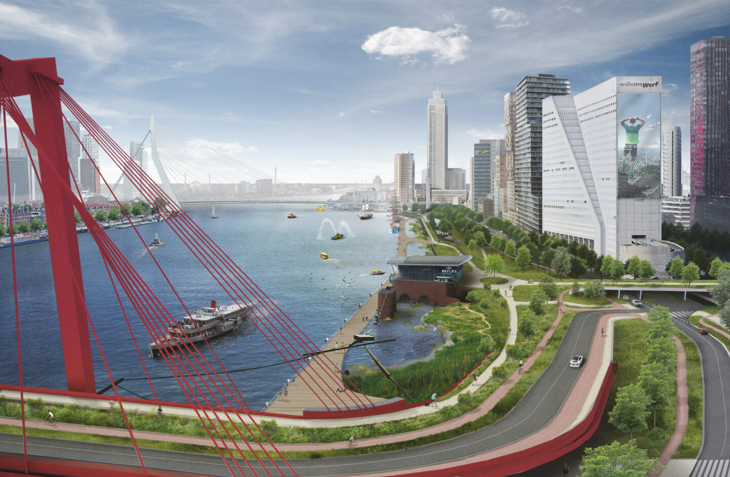
‘We can transform the quayside between the Willemsbrug and Erasmusbrug into a publicly accessible waterfront.’
What are your findings so far with regard to the Water Atlas?
‘The Maas is actually a kind of traffic highway. You have large seagoing and inland vessels there, but also many recreational boats. Activities like paddleboarding (SUP) and swimming are actually not allowed at all due to safety concerns, even though we have seen in recent summers that there is a strong desire for these activities. The Port Authority therefore wants to establish some zoning on the river so that different types of traffic can move safely beside each other. In discussions with the Port Authority about this, we discovered that the transiting ships stay between the pylons of the Willemsbrug and the Erasmusbrig, at least 35 metres from the quayside. That area along the Boompjes therefore has enormous potential to be transformed into a publicly accessible waterfront! Where you can exercise and walk, and passenger ships come and go. It would also address the need for more green space in the Maritime District, the most densely built-up part of the Netherlands. The Willemsbrug could possibly be connected to the Boompjes in a different way to create much more space on the shore here as well, and the André van der Louwbrug could become a green connection between Blaak station and the Maas. All this is yet to be fully worked out, but at least the first ideas are there.
Another interesting finding is that many places in the city are situated close to the river but are not oriented towards it and do not have a waterfront address. Can we give those destinations, such as Erasmus University, Erasmus MC and historic Delfshaven, a better connection with the Maas? So that they also become more easily accessible from the water with public transport actually on the water, like in Venice? This is something we are fully exploring and it is particularly interesting in a city where motorized traffic is steadily reducing.’
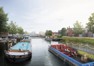
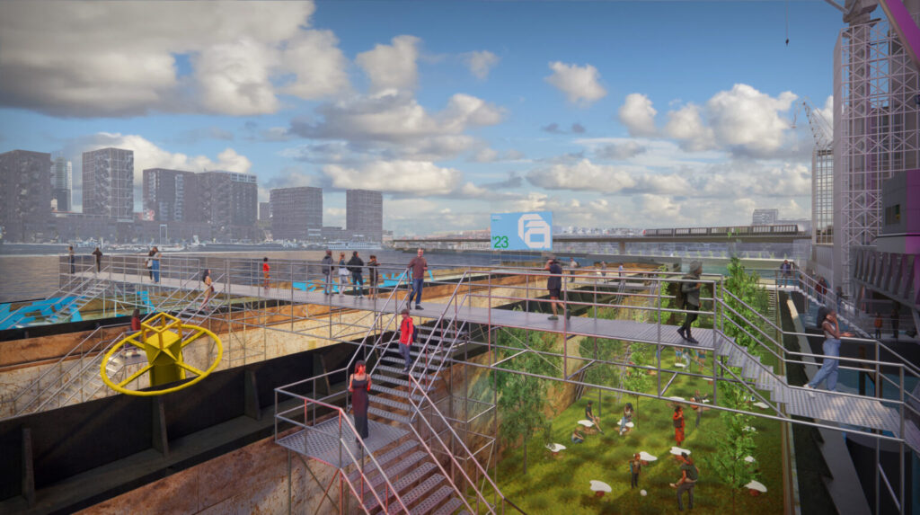
Persoonshaven | Studio Marco Vermeulen
You devised and designed the concept of the floating festival heart of Architecture Month. How did you come up with this idea?
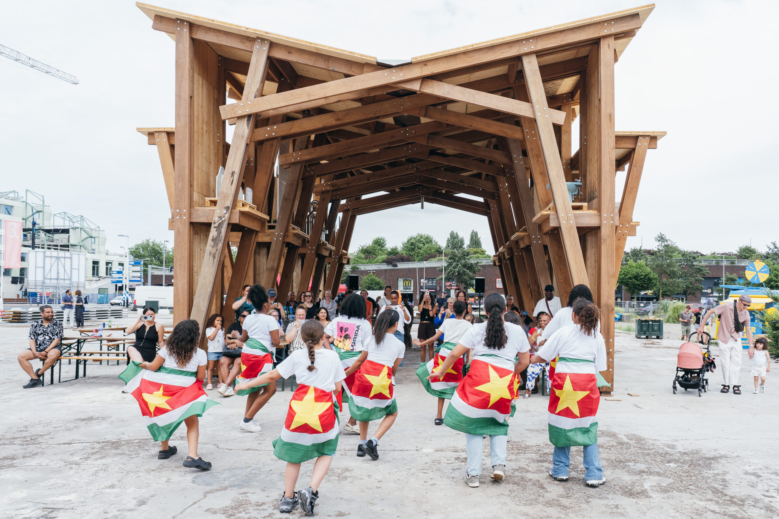
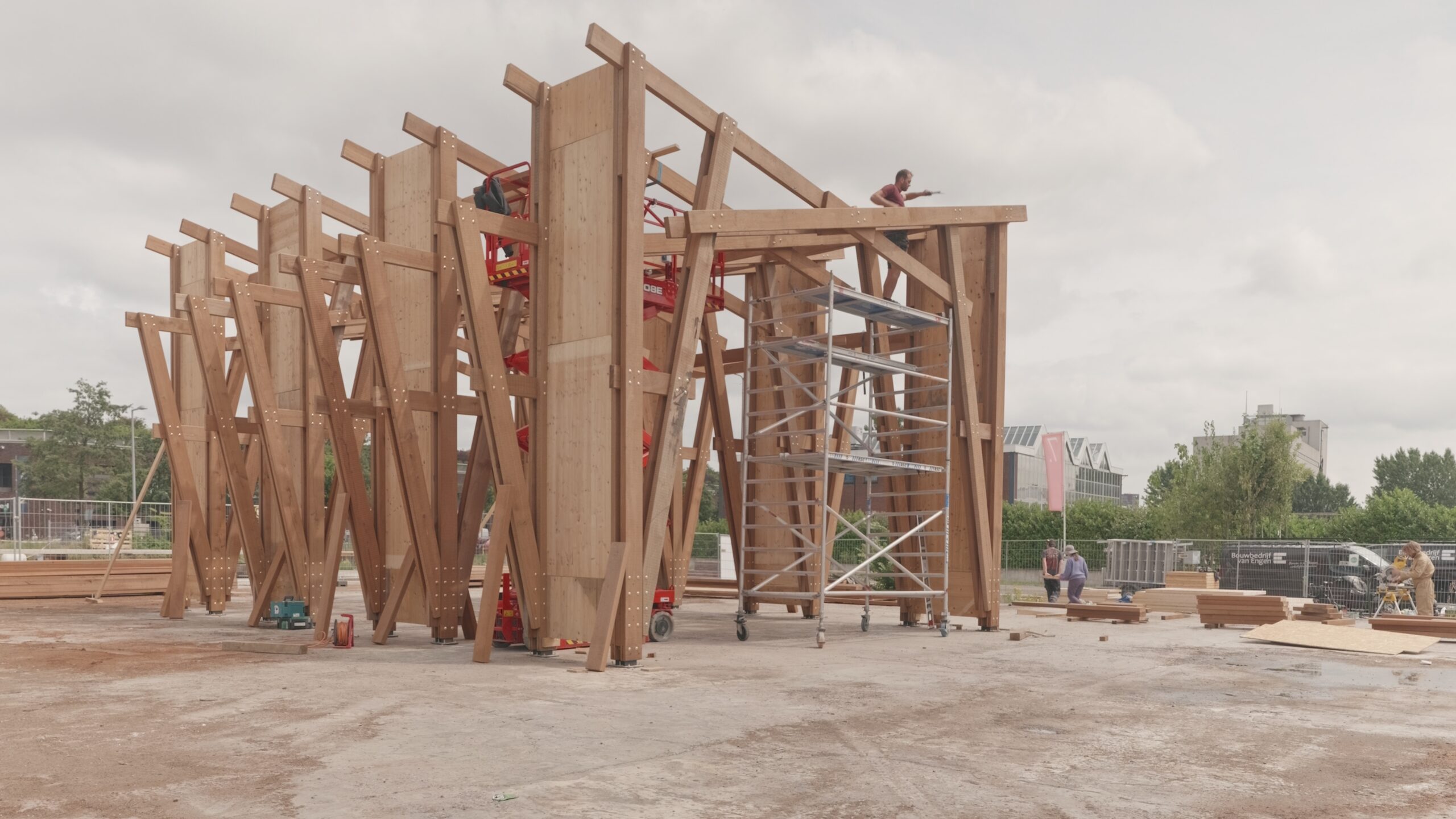
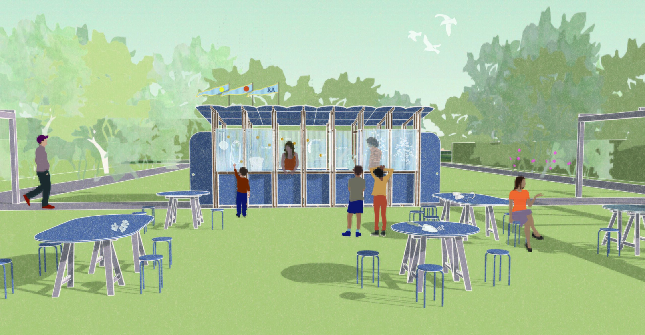
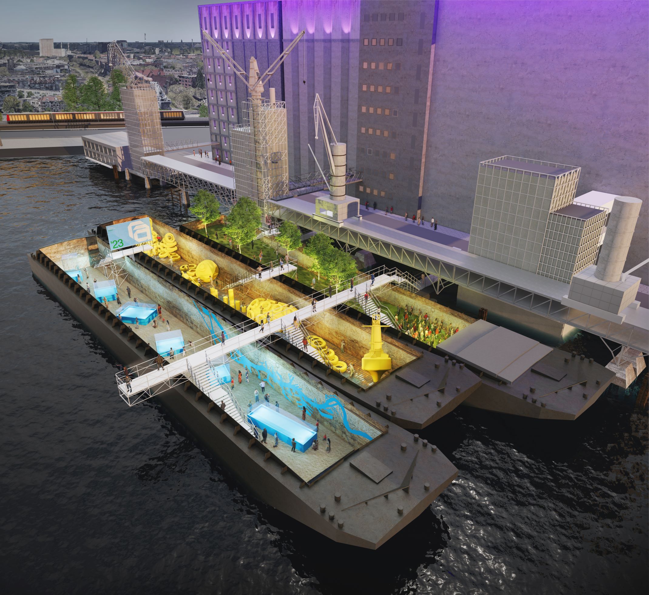
‘AIR wanted a floating festival heart in the Maashaven as a preview of the Nelson Mandelapark. I constantly see lighter barges full of ore, salt and grain sailing by, supplying inland Europe with food and raw materials. They are like sailing cathedrals; you see them passing by all the time but have probably never been inside one. Inside, in the impressively large holds, you can see traces of the many tonnes of cargo they have carried continuously for decades. In that respect too, the barges fit in very well with the character of the city.
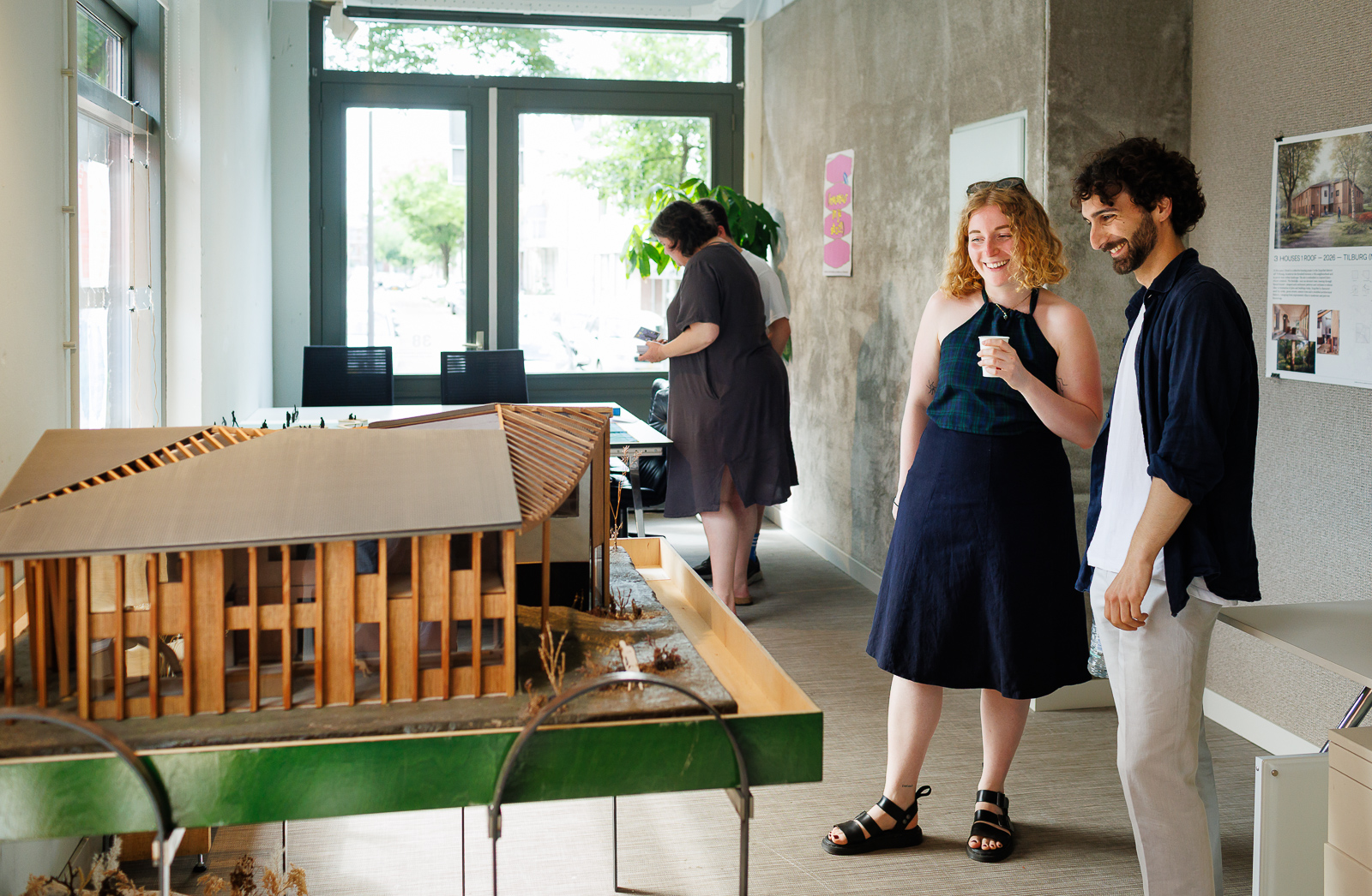
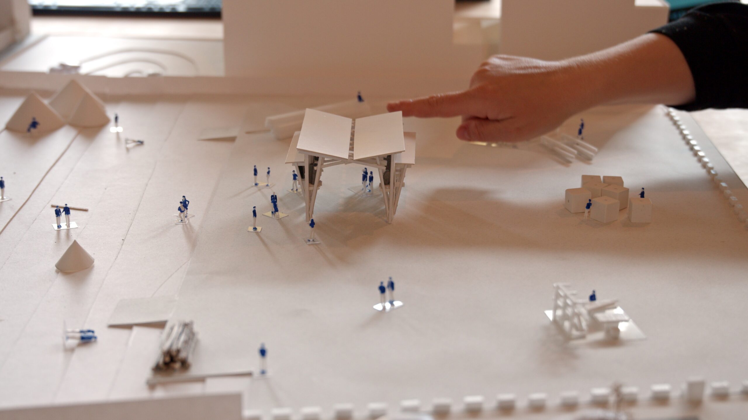
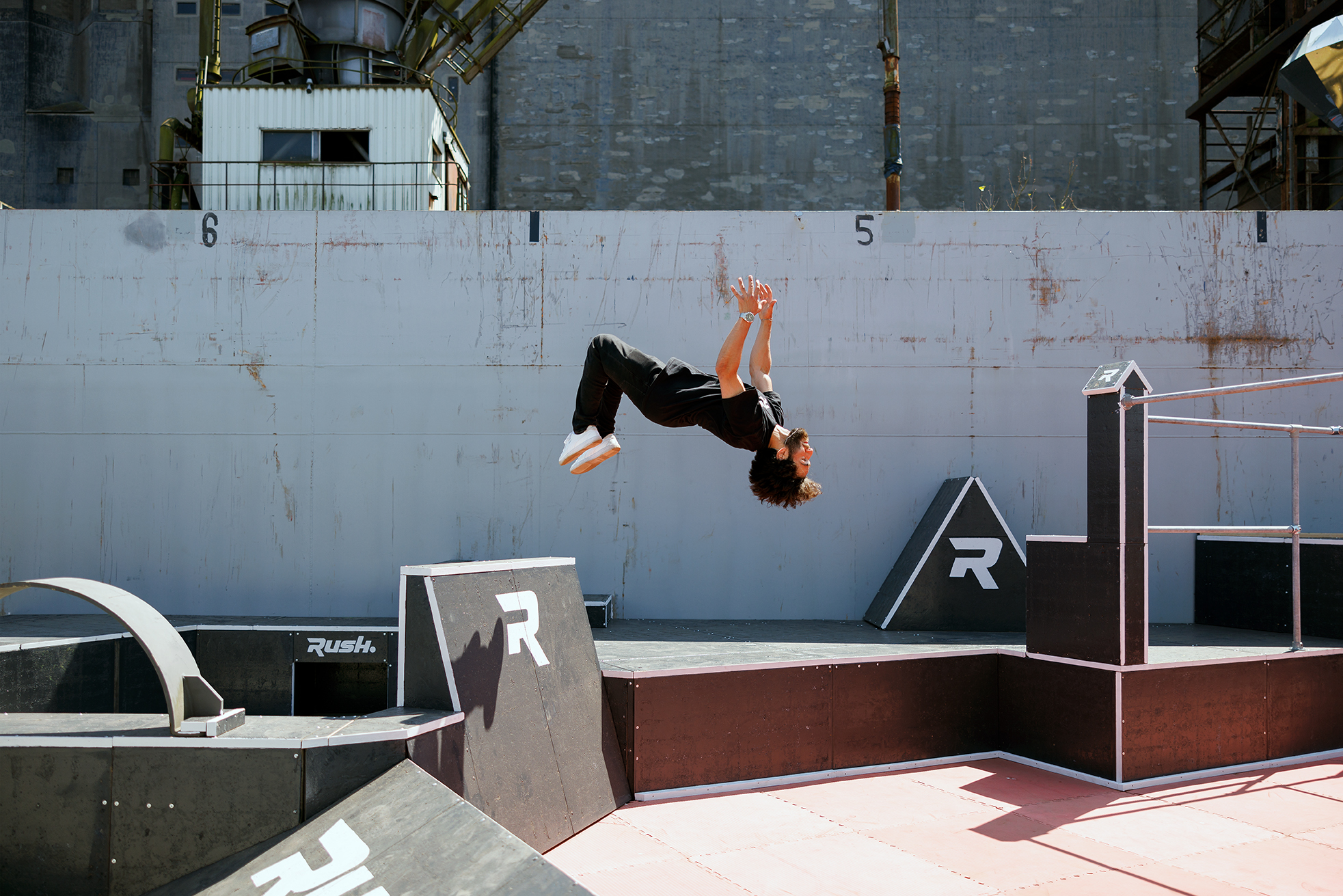
I thought that if we take them out of service now for a few weeks and load them up with an urban programme, we will have a beautiful festival heart where city and port come together in a symbolic way. And which is also a foretaste of the Nelson Mandelapark. In the park barge you enter a green oasis, in the sports barge you skate on harbour materials and objects – designed by freerunner Onur Eren – and in the exhibition you can see the findings from the Water Atlas in a 40-metre-long model, among other things.
Behind the design for the festival heart there lies a bigger idea. This summer, it is three barges in the Maashaven. But what if more used vessels with public functions, including swimming-pool boats and theatre boats, moved continuously by water through the city? I think that with Rotterdam Architecture Month and the floating festival heart we are showing just how much the river has to offer as a central green space. As a lively new world with attractive urban amenities.’
About Studio Marco Vermeulen
Studio Marco Vermeulen is a design office for architecture, urban design, landscape and design research. Because the only way to tackle today’s challenges is by combining those disciplines, the studio believes. In most of Studio Marco Vermeulen’s projects, cycles in the field of water, energy and raw materials play a central role. Here, issues such as the energy transition, climate adaptation, bio-based economy and food are linked to opportunities for spatial quality in the city and the surrounding area.
Studio Marco Vermeulen
Visit the floating festival heart
Do you want to visit the floating festival heart of the Rotterdam Architecture Month?